


WBGB Orthophoto
Colour (RGB) stereo imagery that covers the entire obstacles surfaces, for each runway at each aerodrome. 11-bit or 16-bit imagery with X, Y and Z for each raster point.
Product is added into your Cart.
Matrix of points that determine the correlated elevation of the ground around the Aerodrome. Represents bare earth surface.
CAAM's AIM Portal and ETOD Data: Elevating Malaysian Aviation with Precision and Safety
Colour (RGB) stereo imagery that covers the entire obstacles surfaces, for each runway at each aerodrome. 11-bit or 16-bit imagery with X, Y and Z for each raster point.

Obstacles within the take-off area of an aerodrome up to 10 km from the end of the runway.

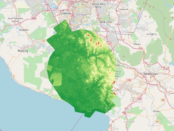
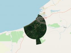
Area 2 consists of Area 2a, Area 2b and 2c. Area 2a is a rectangular area around a runway that comprises the runway strip plus any clearway that exists. Area 2 b is an area extending from the ends of Area 2a with a length of 10 km. Area 2c is an area extending outside Area 2a and Area 2b at a distance of not more than 10km from the boundary of Area 2a.
Aeronautical Information Services Unit, Civil Aviation Authority of Malaysia, Persiaran Korporat KLIA, 64000, KLIA, Sepang, Selangor.
+603 8871 4000 ais@caam.gov.my