


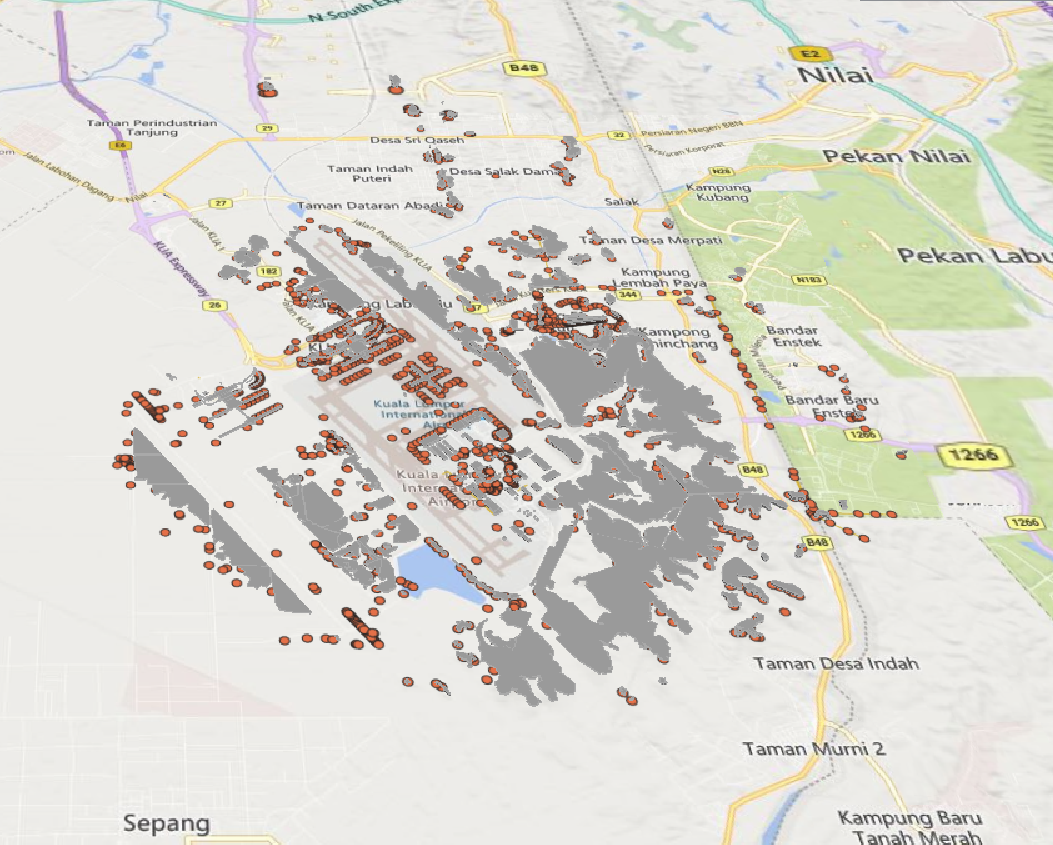
WBGB Aerodrome Surface Routing Network
Nodes and edges of the Associated Aerodrome Surface Routing Network. This represents a subset of an aerodrome that is suitable for taxiing special-seized aircraft.
Product is added into your Cart.
Terrain and Obstacle Information Exchange Services provides dataset in AIXM and services in WFS and WMS for external use
CAAM's AIM Portal and ETOD Data: Elevating Malaysian Aviation with Precision and Safety

Nodes and edges of the Associated Aerodrome Surface Routing Network. This represents a subset of an aerodrome that is suitable for taxiing special-seized aircraft.
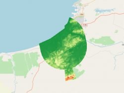
Matrix of points that determine the correlated elevation of the ground around the Aerodrome. Represents bare earth surface.
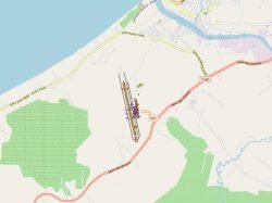
Nodes and edges of the Associated Aerodrome Surface Routing Network. This represents a subset of an aerodrome that is suitable for taxiing special-seized aircraft.
Aeronautical Information Services Unit, Civil Aviation Authority of Malaysia, Persiaran Korporat KLIA, 64000, KLIA, Sepang, Selangor.
+603 8871 4000 ais@caam.gov.my