


WBGB Airport Mapping Database
Nodes and edges of the Associated Aerodrome Surface Routing Network. This represents a subset of an aerodrome that is suitable for taxiing special-seized aircraft.
Product is added into your Cart.
Obstacles data for obstacles whose height is 100 meter or higher above ground.
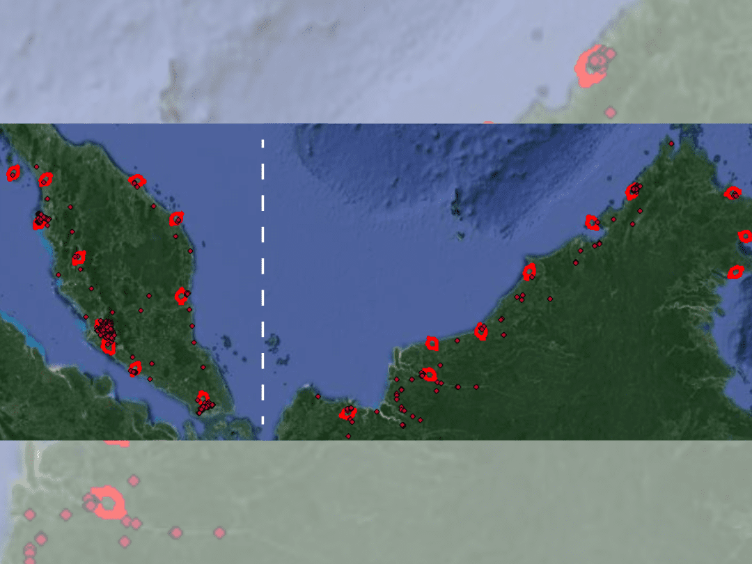
CAAM's AIM Portal and ETOD Data: Elevating Malaysian Aviation with Precision and Safety
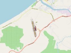
Nodes and edges of the Associated Aerodrome Surface Routing Network. This represents a subset of an aerodrome that is suitable for taxiing special-seized aircraft.
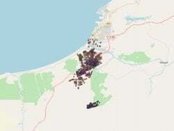
The obstacles within the Annex-14 Obstacle Limitation Surfaces (OLS)
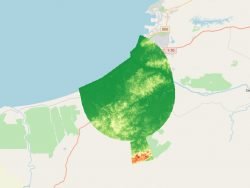
Matrix of points that determine the correlated elevation of the ground around the Aerodrome. Represents bare earth surface.
Aeronautical Information Services Unit, Civil Aviation Authority of Malaysia, Persiaran Korporat KLIA, 64000, KLIA, Sepang, Selangor.
+603 8871 4000 ais@caam.gov.my
