


WBGB Annex 14 Obstacle
The obstacles within the Annex-14 Obstacle Limitation Surfaces (OLS)
Product is added into your Cart.
Obstacles data for obstacles whose height is 100 meter or higher above ground.
CAAM's AIM Portal and ETOD Data: Elevating Malaysian Aviation with Precision and Safety

The obstacles within the Annex-14 Obstacle Limitation Surfaces (OLS)

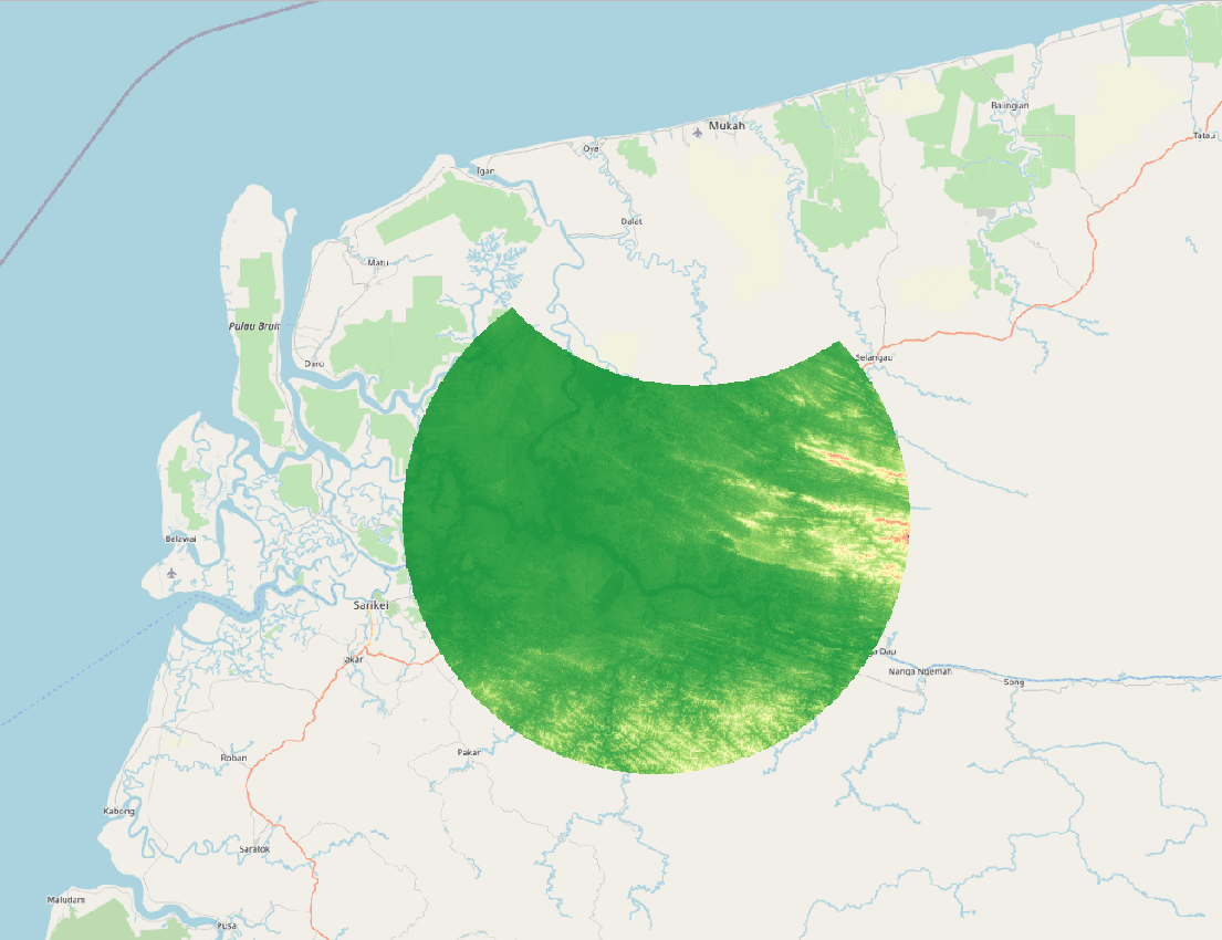
Obstacles within the take-off area of an aerodrome up to 10 km from the end of the runway.

Obstacles within the take-off area of an aerodrome up to 10 km from the end of the runway.
Aeronautical Information Services Unit, Civil Aviation Authority of Malaysia, Persiaran Korporat KLIA, 64000, KLIA, Sepang, Selangor.
+603 8871 4000 ais@caam.gov.my