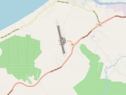
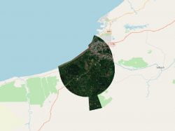
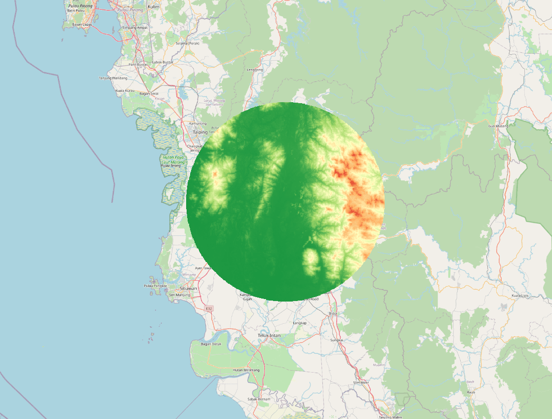
Product is added into your Cart.

x

Area 2D -WMKI

Obstacles data for obstacles whose height is 100 meter or higher above ground.

Available Format: 

SHP, KML, DGN, DWG, XML

Last Updated Date: 9-Jun-2023

Effective Date: 23-APR-2024

$ 0

Related Products

CAAM's AIM Portal and ETOD Data: Elevating Malaysian Aviation with Precision and Safety

WBGB Orthophoto

Colour (RGB) stereo imagery that covers the entire obstacles surfaces, for each runway at each aerodrome. 11-bit or 16-bit imagery with X, Y and Z for each raster point.

WBGB Annex 14 Obstacle

The obstacles within the Annex-14 Obstacle Limitation Surfaces (OLS)

WBGB Airport Mapping Database

Nodes and edges of the Associated Aerodrome Surface Routing Network. This represents a subset of an aerodrome that is suitable for taxiing special-seized aircraft.