


WBGB Annex 14 Obstacle
The obstacles within the Annex-14 Obstacle Limitation Surfaces (OLS)
Product is added into your Cart.
Obstacles data for obstacles whose height is 100 meter or higher above ground.
CAAM's AIM Portal and ETOD Data: Elevating Malaysian Aviation with Precision and Safety

The obstacles within the Annex-14 Obstacle Limitation Surfaces (OLS)
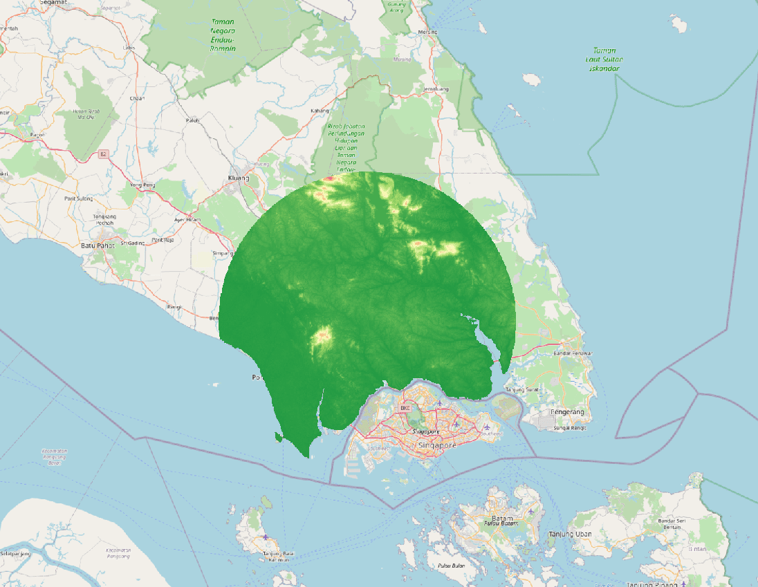
Area 2 consists of Area 2a, Area 2b and 2c. Area 2a is a rectangular area around a runway that comprises the runway strip plus any clearway that exists. Area 2 b is an area extending from the ends of Area 2a with a length of 10 km. Area 2c is an area extending outside Area 2a and Area 2b at a distance of not more than 10km from the boundary of Area 2a.
Colour (RGB) stereo imagery that covers the entire obstacles surfaces, for each runway at each aerodrome. 11-bit or 16-bit imagery with X, Y and Z for each raster point.
Aeronautical Information Services Unit, Civil Aviation Authority of Malaysia, Persiaran Korporat KLIA, 64000, KLIA, Sepang, Selangor.
+603 8871 4000 ais@caam.gov.my