


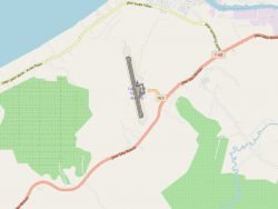
WBGB Aerodrome Obstacles Chart – ICAO Type A
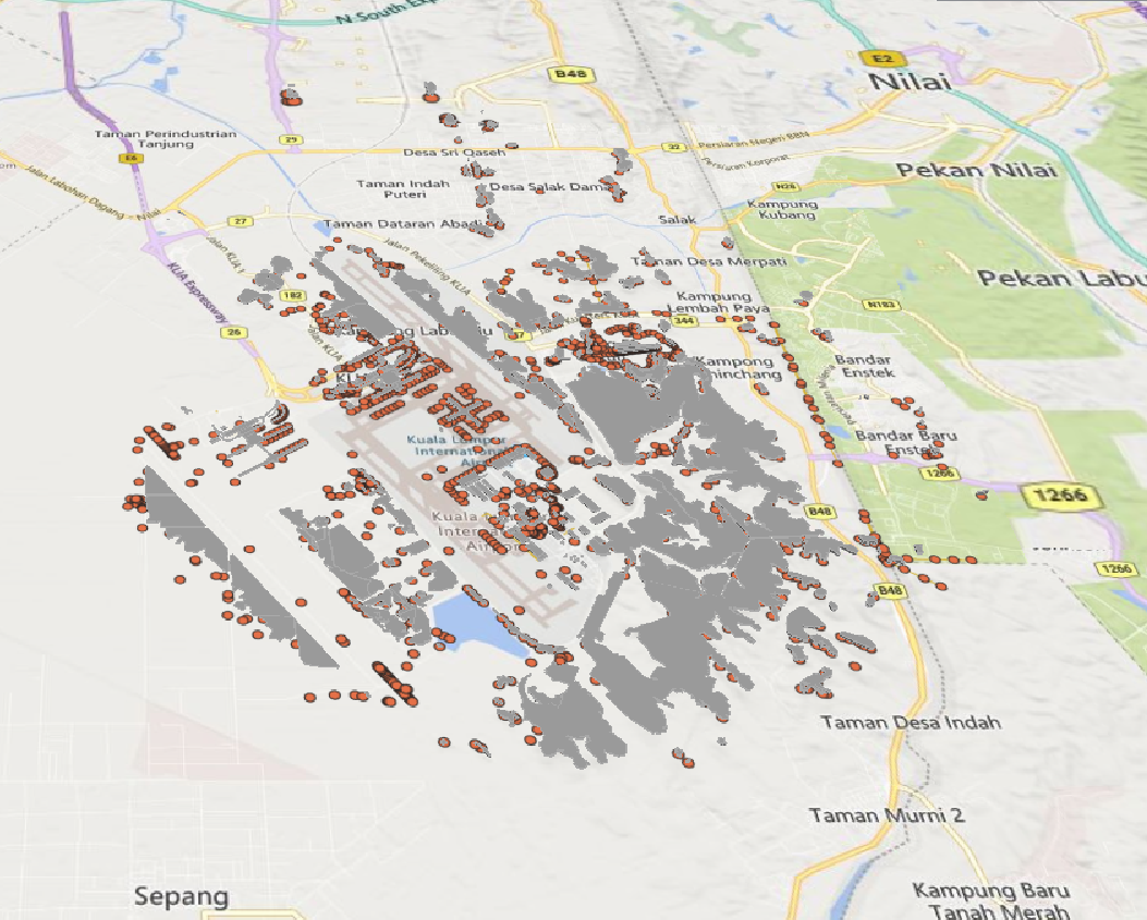
Obstacles within the take-off area of an aerodrome up to 10 km from the end of the runway.
Product is added into your Cart.
Terrain and Obstacle Information Exchange Services provides dataset in AIXM and services in WFS and WMS for external use
CAAM's AIM Portal and ETOD Data: Elevating Malaysian Aviation with Precision and Safety

Obstacles within the take-off area of an aerodrome up to 10 km from the end of the runway.
At instrument flight rules (IFR) aerodromes/heliports, from runway edge to movement areas.
Colour (RGB) stereo imagery that covers the entire obstacles surfaces, for each runway at each aerodrome. 11-bit or 16-bit imagery with X, Y and Z for each raster point.
Aeronautical Information Services Unit, Civil Aviation Authority of Malaysia, Persiaran Korporat KLIA, 64000, KLIA, Sepang, Selangor.
+603 8871 4000 ais@caam.gov.my