


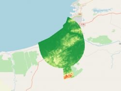
WBGB Area 3 Obstacles Data
At instrument flight rules (IFR) aerodromes/heliports, from runway edge to movement areas.
Product is added into your Cart.
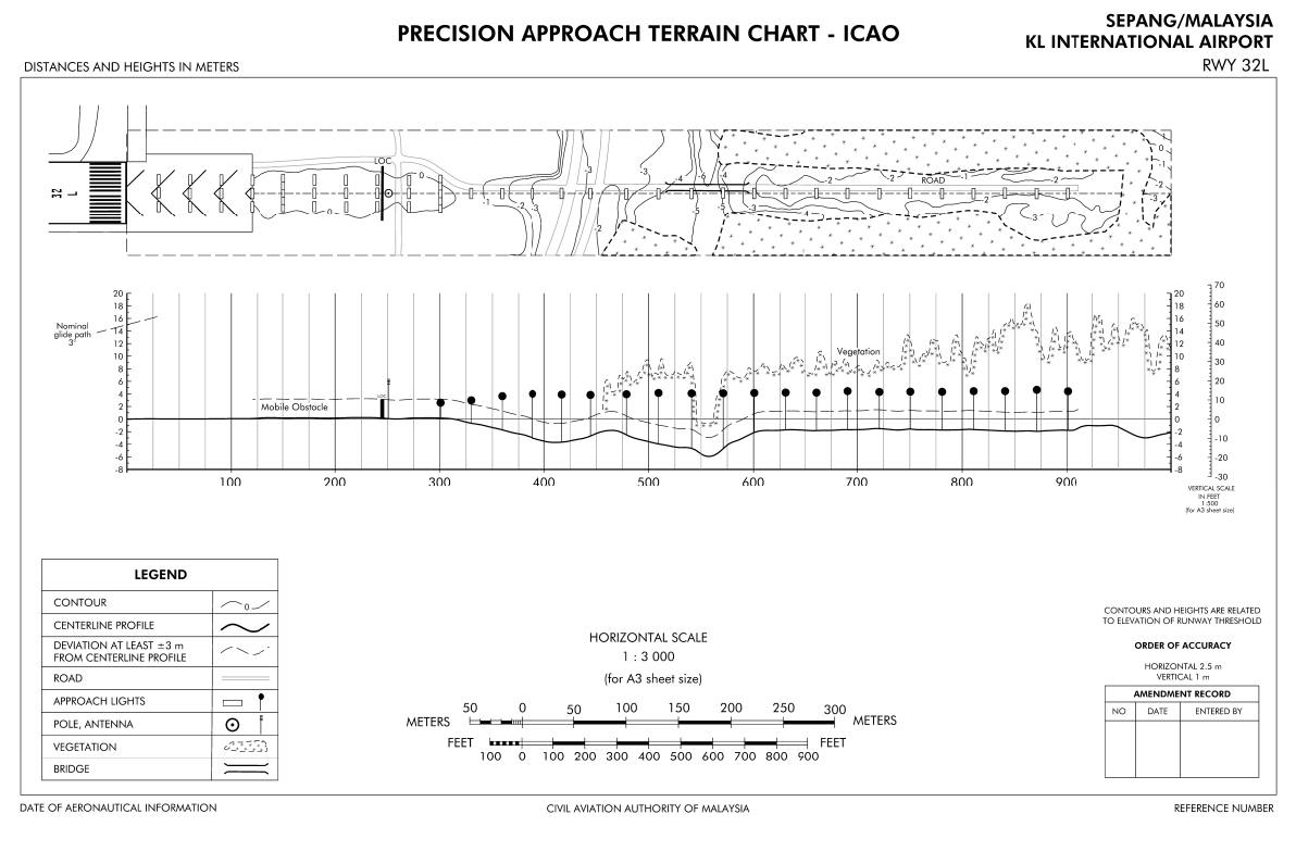
The Precision Approach Terrain Chart (PATC) provides detailed terrain profile information within a defined portion of the final approach so as to enable aircraft operating agencies to assess the effect of the terrain on decision height determination by use of radio altimeters.
CAAM's AIM Portal and ETOD Data: Elevating Malaysian Aviation with Precision and Safety
At instrument flight rules (IFR) aerodromes/heliports, from runway edge to movement areas.
Matrix of points that determine the correlated elevation of the ground around the Aerodrome. Represents bare earth surface.

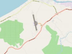
Obstacles within the take-off area of an aerodrome up to 10 km from the end of the runway.
Aeronautical Information Services Unit, Civil Aviation Authority of Malaysia, Persiaran Korporat KLIA, 64000, KLIA, Sepang, Selangor.
+603 8871 4000 ais@caam.gov.my
